Newaukum Hill Cemetery
Lewis County, Washington, USA
About
-
- Cemetery ID:
Members have Contributed
Advertisement
Photos


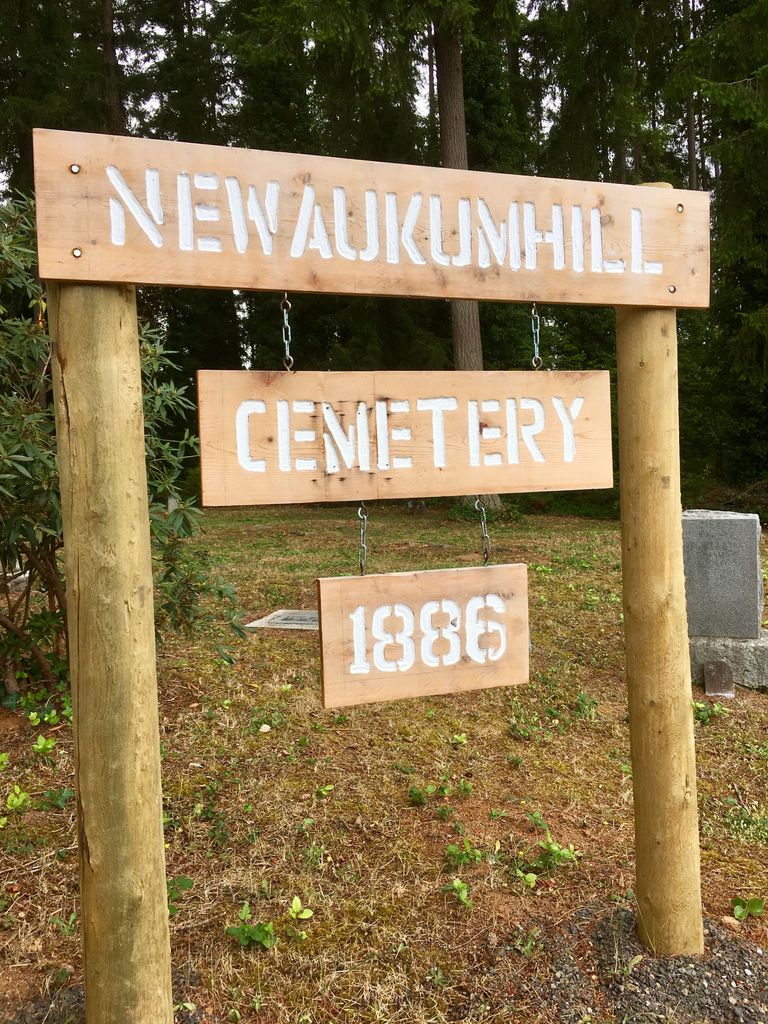
The Newaukum Hill Cemetery is a small cemetery located in Section 7, Township 13 North, Range 2 West. The cemetery joins the John Thomas property to the north and consists of one acre.
Susan E. Dickerson sold the land to John Bower in 1890; he later sold some land to Corton H. Haskell. Then Corton H. Haskell sold the land to Alick Frank. Documentation shows that 1 acre of land was held out for the cemetery. This one acre of land was mentioned in the sale of land from Alick Frank to Mary Brown in 1911.
One acre of land was set aside by John Bower for a cemetery in 1902. This land must have been used for a cemetery before it showed in records at the court house as the earliest burial found was in 1886. There was a community property agreement in 1901 between John Bower and his wife.
There are about twenty-four graves that are marked with only a white cross or with a small square stone with no information on them. These graves are of people that died while they were at a poor farm here in Lewis County. Their remains were brought to the Newaukum Hill Cemetery and buried. There were no records kept as to what their names were.
Directions to the Newaukum Hill Cemetery:
From Interstate 5, take Exit 77. Go west on Highway 6 and take a quick left turn on Riverside Road. Riverside Road starts just past the Southbound onramp to I-5. Riverside Road changes to Newaukum Road and Newaukum Road changes to Shorey Road. This all happens in a short distance. Go 1.1 miles on Riverside, Newaukum, and Shorey Roads and then take a right turn onto Devereese Road. Go up the hill on Devereese Road for 6 tenths of a mile to the Roberts Road-Newaukum Cemetery Road. Take a left turn on Roberts Road and go 3 tenths of a mile to the end of the road. The Newaukum Hill Cemetery is on your right behind the fence.
Nearby cemeteries

Chehalis, Lewis County, Washington, USA
- Total memorials1k+
- Percent photographed92%
- Percent with GPS87%
Chehalis, Lewis County, Washington, USA
- Total memorials3
- Percent photographed67%

Chehalis, Lewis County, Washington, USA
- Total memorials314
- Percent photographed78%
- Percent with GPS66%

Chehalis, Lewis County, Washington, USA
- Total memorials10k+
- Percent photographed85%
- Percent with GPS1%
- Added: 18 Apr 2008
- Find a Grave Cemetery ID: 2257714

Cemetery Photos
This is a carousel with slides. Use Next and Previous buttons to navigate, or jump to a slide with the slide dots. Use Escape keyboard button or the Close button to close the carousel.


Success
Uploading...
Waiting...
Failed
This photo was not uploaded because this cemetery already has 20 photos
This photo was not uploaded because you have already uploaded 5 photos to this cemetery
This photo was not uploaded because you have already uploaded 5 photos to this cemetery
Invalid File Type
Birth and death years unknown.
1 photo picked...
2 photos picked...
Uploading 1 Photo
Uploading 2 Photos
1 Photo Uploaded
2 Photos Uploaded
Size exceeded
Too many photos have been uploaded
"Unsupported file type"
• ##count## of 0 memorials with GPS displayed. Double click on map to view more.No cemeteries found